M33 - Peca Underground

ALL TOURS      ROAD CYCLING      GRAVEL BIKING      MOUNTAIN BIKING      FAMILY CYCLING      

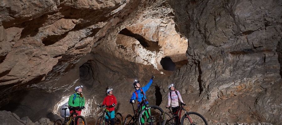
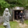
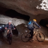
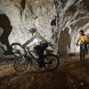
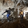
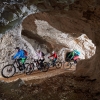
Peca Underground. Photography: Tomo Jeseničnik, www.slovenia.info
Golte
Golte
Golte
Golte
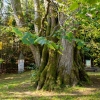
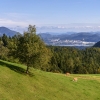
Najevnik Linden Tree. Photography: Nejc Fon, www.slovenia.info
Peca Underground. Photography: Tomo Jeseničnik, www.slovenia.info
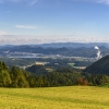
Šalek Valley. Photography: Andrej Tarfila, www.slovenia.info

Peca Underground

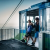
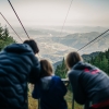
Our comfortable van will drive you from Hotel Grof to the lower station of the Golte cable car. With the cable car, we ascend to an elevation of 1410 meters in just 8 minutes. Once we reach the top we start cycling towards the Alpine Garden on Golte and Smrekovec. Near the Smrekovec Lodge, we turn right and continue cycling on the gravel road north of Smrekovec to the Najevska lipa (linden tree). The Najevnik linden tree is a tree with the largest trunk circumference in Slovenia and is estimated to be approximately 790 years old. The road continually descends to Črna na Koroškem and the entrance to the mine, where you can visit the mine by bike. After the tour, we start ascending towards the Sleme pass (1082 m), where you can refresh at Andrejev Lodge on Sleme. We continue descending towards Bele Vode and Mozirje. In Mozirje, we turn left and cycle on a new bike path towards Letuš, where we cross the Savinja River and continue towards the Preserje Pond. We continue towards Parižlje, where cycle among hop fields and on gravel roads all the way back to Hotel Grof.

Sights

Itinerary: Golte - Smrekovec - Črna na Koroškem - Sleme - Bele Vode - Mozirje - Šmartno ob Paki - Letuš - Male Braslovče - Preserje Pond - Parižlje - Šmatevž - Stopnik - Hotel Grof
Length: 88 km
Elevation gain: 1400 m
Time: 7 h
Terrain: Valley and hills
Surface type: 35 km gravel road, 53 km asphalt
Suitable for gravel biking
Difficulty level: Hard
Maximum incline: 21 %

Criteria of the difficulty level of cycling routes

 Criteria for family cycling

Easy

You are a family with small children who can already cycle on their own. You cycle mostly on a plain with short gentle inclines.

Normal

You are a family with young children, who cycle on diverse terrain with small climbs and descents.

 Criteria for road cycling

Easy

You are in a poor shape and cycle up to twice a week. You cycle on slightly diverse terrain with smaller climbs and descents.

Normal

You are in a moderate shape and exercise more than 3x weekly. You cycle on hilly terrain with medium length climbs and descents.

Hard

You are in a good shape and exercise regularly. You cycle on a hilly terrain and can spend multiple hours on a bicycle.

Expert

You are in an excellent shape and spend a lot of time exercising. You cycle on a hilly terrain with steep inclines and descents.

 Criteria for mountain cycling

Easy

You are in a poor shape and cycle up to twice a week. You cycle on slightly diverse terrain with smaller climbs and descents.

Normal

You are in a moderate shape and exercise more than 3x weekly. You cycle on hilly terrain with medium length climbs and descents.

Hard

You are in a good shape and exercise regularly. You cycle on a hilly terrain and can spend multiple hours on a bicycle.

Expert

You are in an excellent shape and spend a lot of time exercising. You cycle on a hilly terrain with steep inclines and descents.

Free cycling maps are available at Hotel Grof and you can also load gpx on you navigation device free of charge at the hotel Reception.